Project Overview
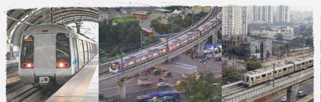
As part of the Delhi Metro Rail Corporation’s (DMRC) corridor expansion, Mapsets provided high-accuracy alignment surveys, underground utilities mapping, and GIS-linked spatial analysis for some of Delhi’s most complex and congested corridors.
This included subsurface utility engineering (SUE) using GeoRadar, rail boundary validation, and elevated route planning. Sections like Connaught Place and ISBT were surveyed without excavation, using non-intrusive geospatial technology.
Urban Surveying Challenges Solved
- GeoRadar-based mapping in dense zones — no digging required
- T.P.S. setup on rooftops & narrow lanes
- Real-time kinematic (RTK) GPS for corridor alignment
- Rail boundary detection & conflict assessment
- Survey of elevated sections across Yamuna riverbanks
- Metro station location and design data integration via GIS
")
Technologies & Methodologies Used
- GeoRadar with 3D visualization
- Total Station + DGPS for precision leveling
- Ground Truthing + Plane Tabling
- AutoCAD-based digitization of utility lines
- GIS layering for asset management & planning
- Urban congestion mapping for route feasibility
High-Impact Metro Expansion Planning
Mapsets’ contributions to Delhi Metro enabled smooth corridor planning in highly sensitive urban environments without disrupting daily city life. Our utility mapping prevented unnecessary excavation, optimized pier placements, and accelerated project timelines.
The ISBT–Subzi Mandi–Yamuna crossing segment, surveyed by Mapsets, was selected for the first phase of elevated construction, completed ahead of schedule due to our accurate spatial data.