Project Overview
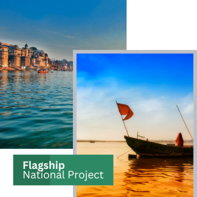
Mapsets is a key innovator in the Ganga rejuvenation project, delivering sustainable, decentralized, and 100% chemical-free river cleaning solutions. We combined advanced GIS mapping, remote sensing, and natural purification techniques to support India’s goal of a 100% clean Ganga mission.
Our approach uses zero energy sewage treatment systems, self-cleaning river mechanisms, and data-driven pollution monitoring. The technology is scalable, community-oriented, and adaptable across all river zones.
Engineering & Survey Excellence
- Zero-energy, gravity-fed bio-filtration units
- GIS-based riverbank pollution mapping
- Custom IoT sensors for real-time water quality data
- Non-electric natural sewage filtration systems
- Carbon-neutral water treatment infrastructure
- Integration of climate-resilient green infrastructure

Technologies & Methodologies Used
- GIS platforms for pollutant source mapping
- Satellite imagery for runoff pattern analysis
- Sensor-based monitoring of pH, EC, turbidity
- Soil and sediment load tracking using terrain models
- Decentralized wastewater treatment using bio-engineering
- Community-linked dashboards for local water stewardship
Environmental & Social Impact
Mapsets’ river restoration framework has contributed to a marked reduction in surface-level organic pollutants, improved biodiversity zones, and empowered rural communities with sustainable water practices. Recognized as a scalable model under the Namami Gange program, our solutions are now being evaluated for use in Yamuna, Gomti, and other tributaries.
