Project Overview
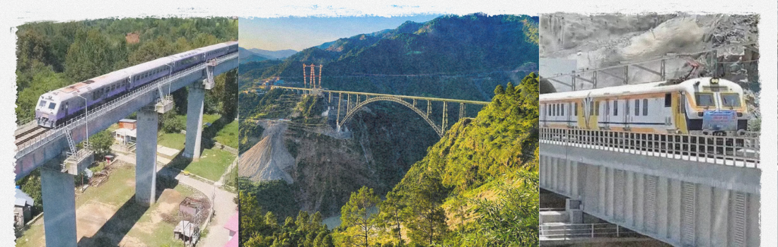
The Udhampur–Srinagar–Baramulla Railway Link is one of India’s most ambitious and challenging infrastructure projects. Designed by Mapsets, this corridor includes the longest railway tunnel in Asia (10.5 km) and the highest cable-stayed bridge (383 m).
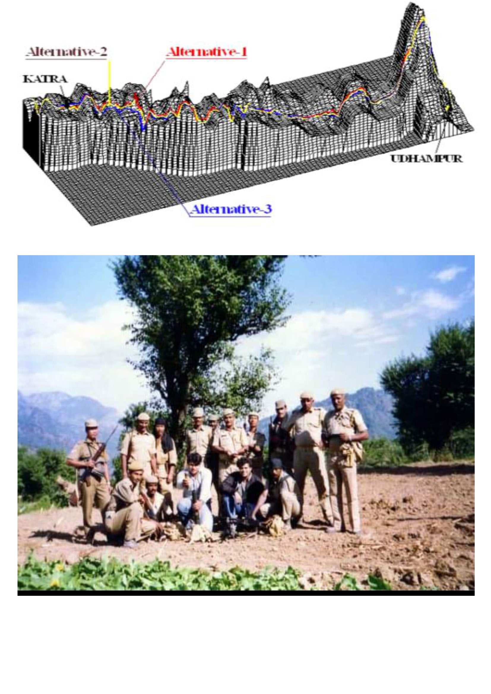
Leveraging our expertise in digital terrain modeling (DTM) and digital photogrammetry, the project drastically optimized the alignment proposed by earlier consultants, resulting in a cost reduction of over ₹800 Crores. Mapsets’ proposed route was approved in the first presentation to the Railway Board.
The Jewell in
our crown
Largest Photogrammetric Project
In
India
Client: Railway Board & Northern Railway.
The Jewell in
our crown
Largest Photogrammetric Project In India 1996 - 2000
Client: Railway Board & Northern Railway.

The Jewell in
our crown
Largest Photogrammetric Project In India
Client: Railway Board & Northern Railway.
Core Innovations & Achievements
- Zero-energy, gravity-fed bio-filtration units
- GIS-based riverbank pollution mapping
- Cable-stayed bridge designed at 383m height
- Digital alignment optimization using aerial stereo imagery
- In-house DTM generation & corridor planning
- Terrain validation using total stations, DGPS, and parallax verification
")
Technologies & Methodologies Used
- Digital Photogrammetry with DVP
- DGPS and Total Station integration
- 1:25,000 and 1:50,000 scale topographic base mapping
- Aerial Triangulation + Ground Truthing
- GIS-based corridor refinement
- Tunnel and bridge design simulations using INROADS
National Impact & Recognition
This project represents not just an engineering milestone, but a strategic lifeline to the Kashmir Valley, enhancing regional connectivity, defense logistics, and economic growth.
Mapsets’ alignment helped reduce total project length by 110 km, cut construction time, and improve safety standards. This achievement was formally recognized by the Railway Board and Government of India.