Copyright & Anti-Plagiarism Notice
All content on this website, including text, images, designs, Flood engineering solutions for Uttar Pradesh, Bihar, Assam, Tamil Nadu, Karnataka, Cauvery dispute and clean Ganga Solutions and other materials, is the intellectual property of Mapsets and is protected by copyright law.
Unauthorised copying, reproduction, or distribution of any content from this site, in whole or in part, is strictly prohibited and may result in legal action.We actively monitor for plagiarism and copyright infringement.
🔒 Protected Content Includes:
Text, technical documentation, and written descriptions
GIS, terrain modeling, and flood engineering concepts
Clean Ganga and zero-energy wastewater solutions
Project methodologies and environmental strategies
Designs, schematics, diagrams, and infographics
State-specific flood control models (e.g., for Uttar Pradesh, Bihar, Assam, Tamil Nadu)
Cauvery River water-sharing solutions
Digital content, logos, branding, and visuals
⚠️ Strictly Prohibited:
Copying or replicating content in any format
Reproducing project concepts or proprietary methods without permission
Republishing or distributing our materials on websites, blogs, or publications
Using our unique environmental or engineering strategies without written consent
We actively monitor for plagiarism and copyright violations. Any unauthorized use of our content will result in legal action under the Copyright Act of India and may include civil or criminal liability.
✅ Registration Notice:
All content is officially registered with the Indian Government Copyright Office.
Any use, reference, or reproduction of Mapsets content must be accompanied by written authorization.
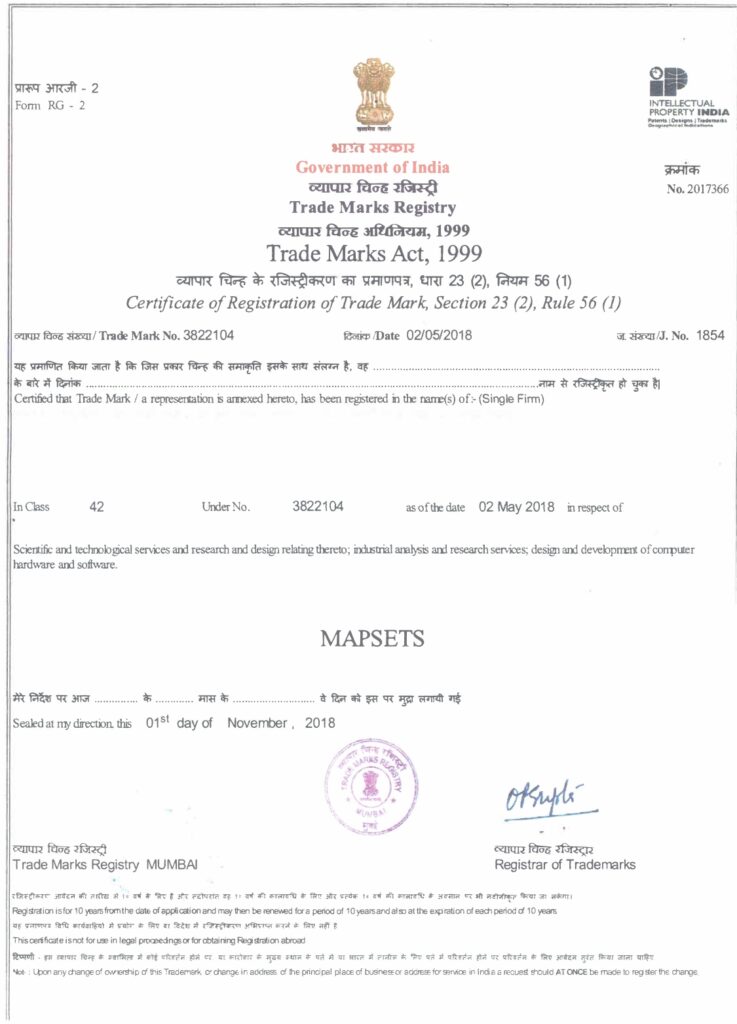
Trademark Certificate
A Permenant Solution for Clean Ganga without using energy and chemicals
We propose a 100% sewer collection and natural filtration system for the entire Gangetic watershed, designed to operate without electricity, chemicals, or skilled manpower. This breakthrough approach ensures zero untreated discharge into the Ganga and its tributaries — offering a permanent, decentralized, and maintenance-friendly solution to one of India’s most critical environmental challenges.
This model is:
✅ Politically Acceptable – Aligned with national missions like Namami Gange and Swachh Bharat.
✅ Socially Desirable – Promotes public health, rural development, and community participation.
✅ Technologically Feasible – our concept hs no high dams like Subhansari and is Earthquake resistant.
✅ Financially Viable – Low cost, self-sustaining, and scalable across.
✅ Administratively Doable – Simple to implement as it does not involve any neighbouring state .
✅ Judicially Tenable – Fully compliant with environmental and water quality regulations. River bed itself will be converted into reserviors
✅ Emotionally Relatable – Protects the sacred Bhramaputra while restoring its ecological balance, and least relocation of population .
✅ Environmentally Sustainable – Maintains the river from meandering and reclaims land.
Assam Floods: A permenant solution for china water bomb, majhuli island reclaimation and barak valley floods
Engineering Resilience for One of India’s Most Flood-Prone States
Every year, Assam faces devastating floods, displacing communities, destroying agriculture, and damaging critical infrastructure. With the Brahmaputra and its tributaries overflowing during monsoons, large parts of the state experience recurring waterlogging, river erosion, and economic disruption.
At Hyderabad Mapsets India (HMI), we specialize in sustainable, non-dam-based flood mitigation solutions tailored for river basins like those in Assam. Our approach integrates Digital Terrain Modeling (DTM), hydrological simulations, and natural drainage systems to create permanent, scalable, and low-maintenance flood control strategies.
🌊 Key Challenges in Assam:
Overflow of Brahmaputra and Barak valley
Soil erosion and siltation of riverbeds
Stop Submersion of Majuli Island and riverine villages
Destruction of crops, homes, and infrastructure
Limited success of conventional embankments and high dams
Flood Management in Bihar
Bihar faces severe and recurring floods, especially in the Kosi, Gandak, and Ganga basins. Traditional methods like embankments and high dams have proven temporary and often lead to secondary disasters such as siltation, displacement, and structural failure.
At Hyderabad Mapsets India (HMI), we offer a Low dam, low-impact, and phase-wise flood mitigation strategy that is:
✅ Environmentally Sustainable – No high dams or large reservoirs
✅ Technologically Proven – Based on Digital Terrain Models (DTM) and hydrological simulations
✅ Politically and Socially Acceptable – No involvement of Nepal as No water backflows into Nepal. Minimal displacement, it converts the river beds itself into reservoir
✅ Financially Viable & Self-Financing – Comparable to India’s toll-based infrastructure model
✅ Culturally Sensitive – Protects vulnerable riverine communities
Our model integrates natural water channels, rainwater harvesting, and floodplain zoning to redirect, absorb, and control excess floodwaters across Bihar’s sensitive regions.
Methods of Topographical Survey
🛰️ 1. Historic Satellite Imagery – Hathimura Region
To understand hydrological patterns, terrain shifts, and river morphology in the Hathimura area, we utilize historic satellite imagery archives going back over three decades. This long-term visual record allows us to:
Analyze seasonal flood extents and sediment flow
Identify historical erosion and deposition zones
Detect changes in river meandering and embankment breaches
Support planning for flood mitigation and river training works
We access multi-spectral imagery from ISRO, NRSC, and international platforms like Landsat, Sentinel, and MODIS, combined with temporal GIS overlays for accurate spatial-temporal analysis
A Permanent, Scalable, and Sustainable Flood Solution for Northeast India
We propose a nature-based, zero-dam flood management system that offers a permanent and holistic solution to recurring floods in Assam and the broader Brahmaputra basin. This model is engineered to not only mitigate flood risks but also to reclaim critical landscapes such as Majuli Island, which is rapidly eroding due to river shifts and sedimentation.