Contact us Welcome to Mapsets India From Individual cadastral level soil health for Nutriens and MIcro Nutrients
to Carbon Audits, GHG Emmissions. Mapsets undertakes Seed, Fertilizers and Pesticides traceability , leading to transforming farming with real-time decision support system.
Scroll Down Smart Agriculture Solutions & real time linking of primary field data to Multiple Eco-systems
Contact us Welcome to Mapsets India Expertise in Railways, Highways, Power, Waterways & Urban Infrastructure backed by digital design innovation. Delivering Transformational
Infrastructure Solutions Since 1982
Scroll Down
Contact us Welcome to Mapsets India Leaders in Digital Photogrammetry, Aerial Surveys, Environmental Impact Assessments, and Watershed & Flood Management . Innovating with Drone Photogrammetry , Remote
Sensing & Digital Mapping
Scroll Down
Our Services

Building India's Future with Precision Services

Surveying & Mapping Services

Surveying & Mapping Services

Topographical, Cadastral, and Geospatial Surveys using GPS, DGPS, Total Stations, and Drones.

Read More
Engineering Surveys

Engineering Surveys

High-precision topographical, route alignment, and construction layout surveys for infrastructure projects.

Read More
Environmental Technologies

Environmental Technologies

Comprehensive environmental studies and sustainability audits for large-scale infrastructure.

Read More
Soil & Water Management

Soil & Water Management

GIS-based watershed planning, soil monitoring, and erosion control strategies.

Read More
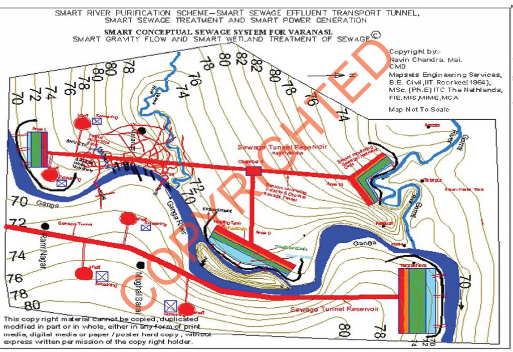
Watershed Management  & River Cleaning Solutions

Watershed Management & River Cleaning Solutions

Solar fuels can be used in various sectors, including transportation. Services may involve the development of vehicles and infrastructure for solar fuel.

Read More
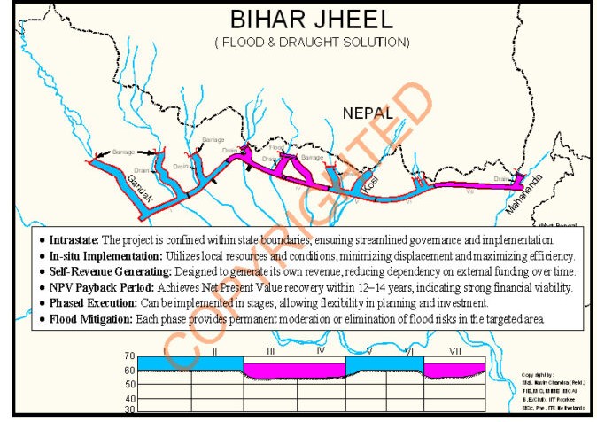
Flood Moderation And Drought Erradication

Flood Moderation And Drought Erradication

Nature-based flood mitigation, DTM/DEM generation, and river basin modeling

Read More

Engineering Tomorrow

Experts in Digital Mapping & Infrastructure Design

Since 1982, Mapsets has been at the forefront of Digital mapping services in India, digital photogrammetry, and infrastructure project development consultancy. Our team of specialists delivers cutting-edge solutions in surveying and mapping, real-time soil testing, flood management, and Ganga river cleaning solutions using smart, sustainable technologies.

We transform large-scale engineering challenges into scalable, climate-resilient systems powered by out Digital Mapping , IoT, and machine learning.
Our Mission

To lead India’s transformation in infrastructure development, GIS mapping, and environmental sustainability by delivering high-precision solutions in surveying, real-time soil testing, digital photogrammetry, and river rejuvenation.

We aim to empower communities, governments, and industries with data-driven insights, geospatial intelligence, and smart technology that ensure efficiency, resilience, and long-term impact.

Our Vision

We visualize an Earth with Carbon Neutral Agriculture, water and infrastructure projects which are 

  • Politically acceptable – supported or at least tolerated by key political stakeholders.
  • Socially desirable – aligns with societal values, norms, and aspirations.
  • Technologically feasible – implementable using current or near-future technology.
  • Financially viable – affordable and sustainable in terms of cost and funding.

  • Administratively doable – manageable within existing or adaptable administrative structures.

  • Judicially tenable – compliant with laws and withstands legal scrutiny.

  • Emotionally relatable – resonates with people’s feelings, experiences, or cultural identity.

  • Environmentally sustainable – maintains ecological balance and minimizes harm to nature.                          A “Earth” where every infrastructure project, from an Agriculture farm parcel or a  river system  is enhanced through precision mappingGHG Neutral water management, and Carbon GHG compliant agricultural practises.

Proven Impact Nationwide

Our Completed Projects Across Railways, Highways, Water, and Agriculture

Surveying

Why Choose Drone & LiDAR Surveying

image

Accurate

High-precision data capture for engineering-grade mapping.

image

Fast

Rapid data collection over large and inaccessible areas.

image

Cost-Effective

Affordable alternative to traditional ground surveys.

image
image

Versatile

Suitable for railways, highways, agriculture, and river basins.

image

Eco-Friendly

Non-invasive aerial surveys minimize environmental impact.

image

Integrated

Seamlessly integrated with GIS and CAD platforms.

about image
Our Story

Pioneers in Mapping,Smart Agriculture Monitoring & Infrastructure Design

Since 1982, Mapsets has been delivering end-to-end engineering consultancy, from Ground survey till final design and construction supervision, smart data systems for India's most ambitious infrastructure and environmental projects. With a legacy of precision, innovation, and sustainability, we specialize in digital terrain modeling, remote sensing, drone-based surveys, and real-time soil intelligence to solve complex national challenges.

  • icon GIS Mapping Services
  • icon Drone & LiDAR Surveys
  • icon Soil Health Monitoring
  • icon Highway & Railway Design
  • icon Ganga River Cleaning Solutions
  • icon Carbon Credit & Crop Yield Analytics

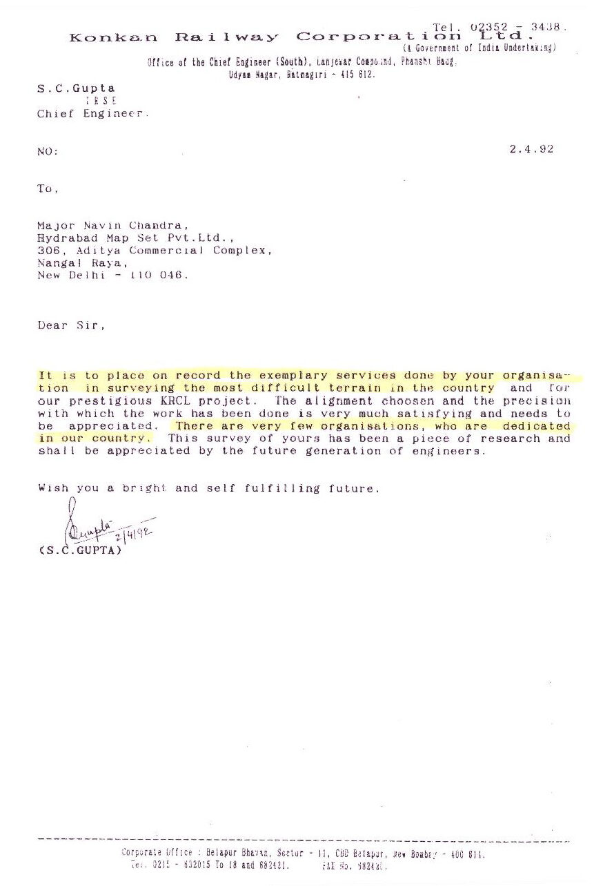
Valued Testimonials

Recent Post

Read The Our Latest Blog Posts

22May

Natural Wastewater Treatment: A Solution for India

India’s rural heartland, home to over 65% of the population, is grappling with a silent crisis—u

Read More
20May

Top 5 Benefits of GIS in Infrastructure Planning

In the modern age of urban development and smart city planning, Geographic Information Systems (GIS)

Read More
21May

Why India Needs to Rethink Its Dam-Heavy Water Pol

India, a country with diverse geographies and climates, has long relied on large dams as the corners

Read More